Free vectors
Free Photos
Free fonts
Free Footages
Web templates
Free Icons
Free brushes
Free styles
Free patterns
Free PSD
Search Photos
Request a design
Upload
Login with Google
Home
Photos
aerial map
Aerial map photos
Free download aerial map photos 399 files in .jpg format sort by popular first, aerial, aerial map, map, maps, mapping, 3d maps, world map, map of the world, high definition map
Sort by:
Default
Trending now
Newest
Recommend
Relevant
Popular
Unpopular
aerial
aerial map
map
maps
mapping
3d maps
world map
map of the world
high definition map
topographic maps
base maps
bagua map
line art map
3d world map
nautical maps
maps of the high quality pictures
map world
world maps
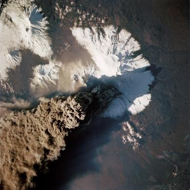
volcanic eruptions highdefinition map
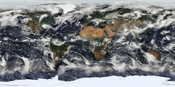
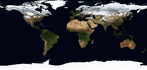
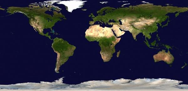
map of the world earth world
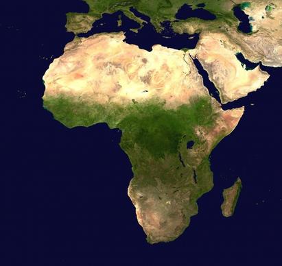
africa continent aerial view
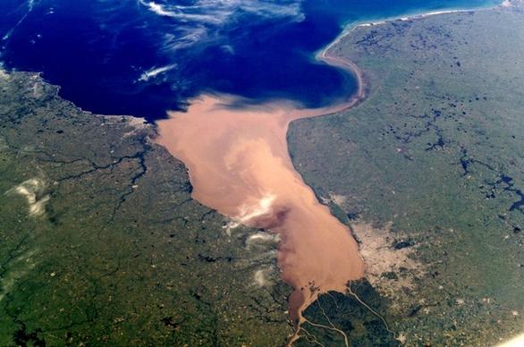
egypt nile aerial view
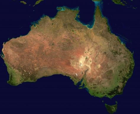
australia continent aerial view
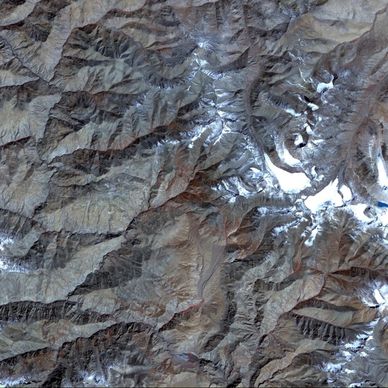
aerial view satellite photo tibet
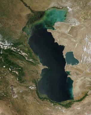
caspian sea satellite photo aerial view
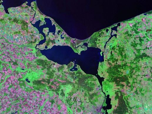
pomeranian bay stettiner haff aerial view
earth map summer
earth map winter
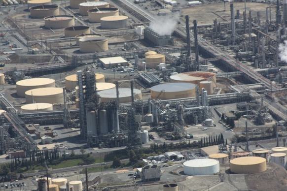
refinery oil aerial
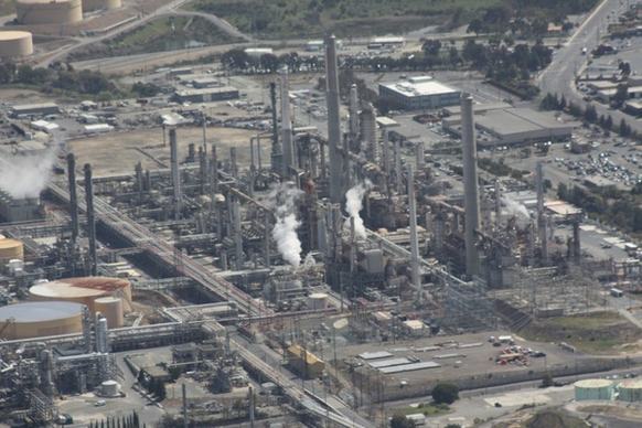
refinery oil aerial
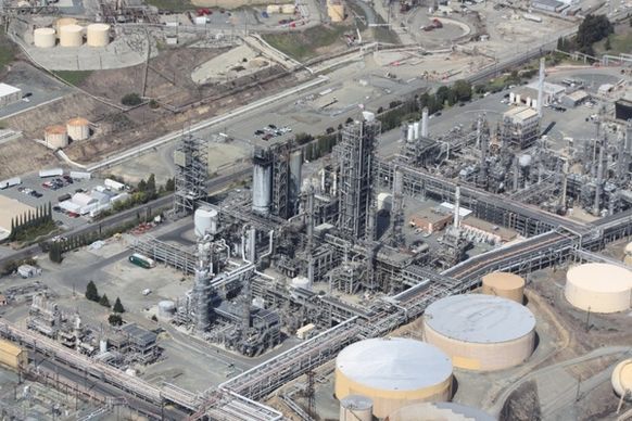
refinery oil aerial
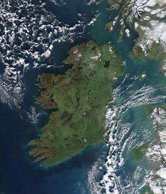
ireland aerial satellite image
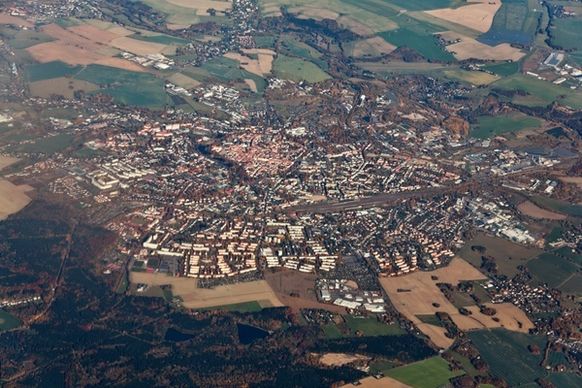
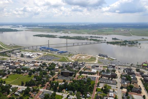
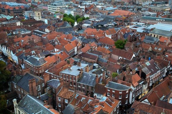
aerial view of a town
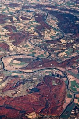
aerial of a river
aerial tram
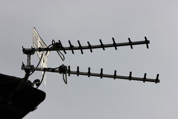
television aerial
washington dc aerial view city
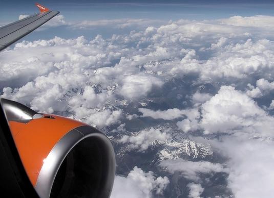
aerial air alpine
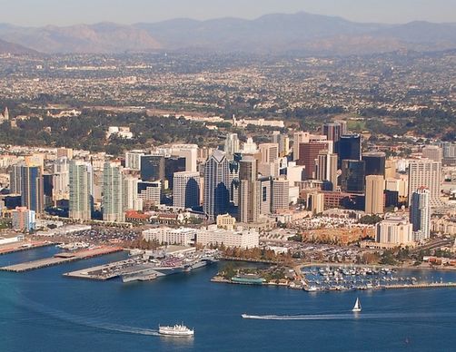
san diego california aerial view
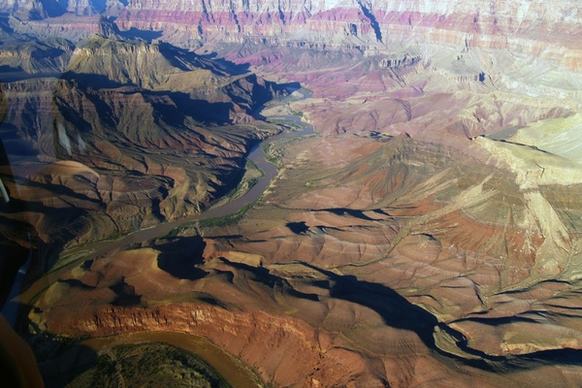
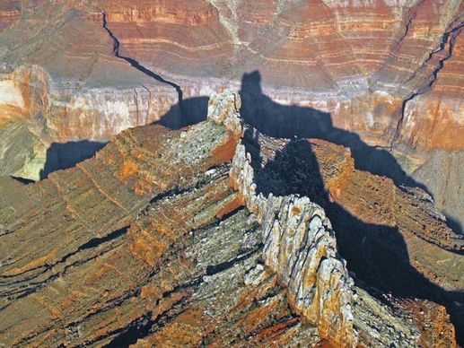
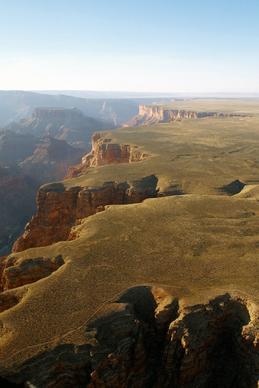
grand canyon aerial view landscape
grand canyon aerial view landscape
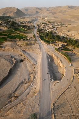
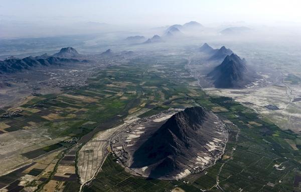
afghanistan aerial view mountains
afghanistan landscape aerial view
plane view aerial view
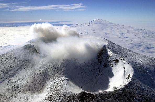
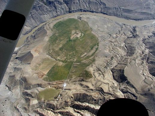
crater mountains aerial view
grand canyon aerial view arizona
aerial antenna communication
aerial view alton illinois
refuel aerial refueling fuel
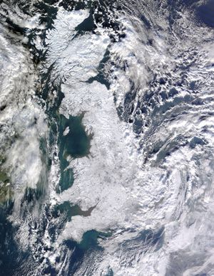
united kingdom winter aerial view
activity adventure aerial
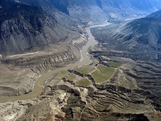
aerial view fraser plateau british columbia
fraser river aerial view fraser plateau
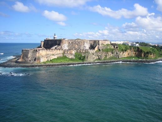
aerial view puerto rico cliffs ocean
aerial roof architecture
aerial roof architecture
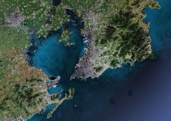
satellite photo aerial view satellite image
qingdao map highdefinition picture
relief map homes
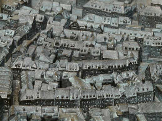
constance map metal plate
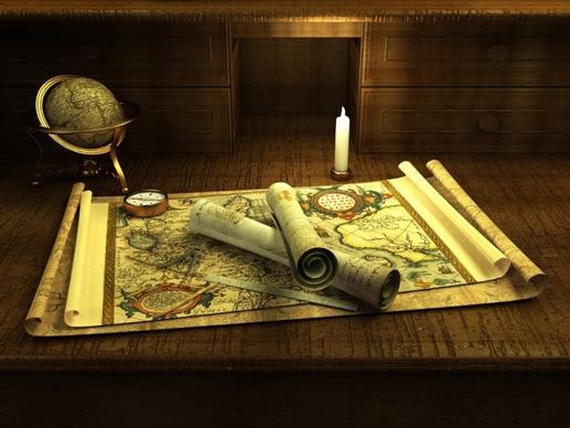
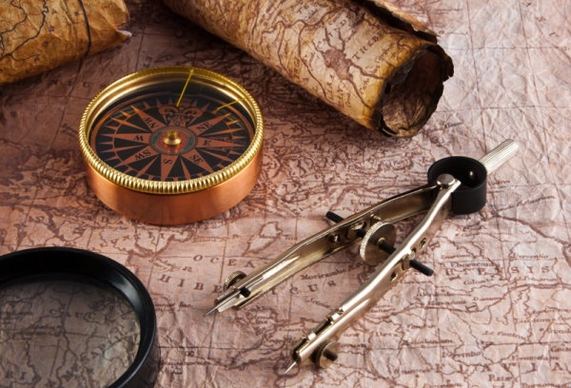
navigation map and compass 02 hd figure goods
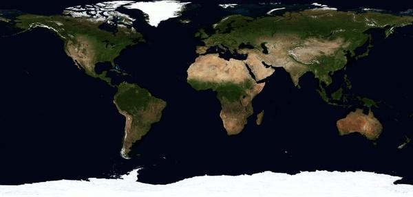
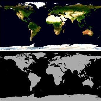
map of the world continents globe
earth39s surface texture black and white maps
total 3d stains map picture
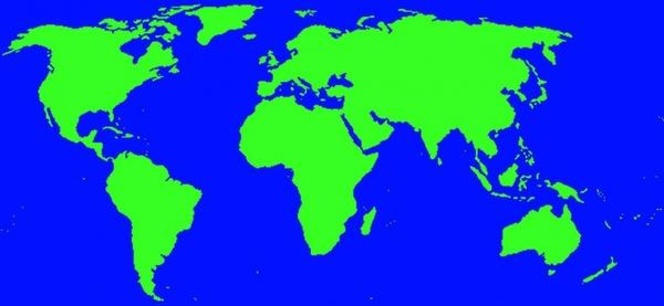
world map land
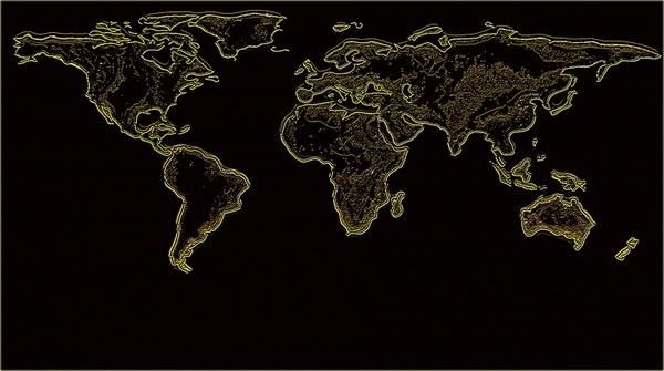
world map
map of the world
video mapping projection
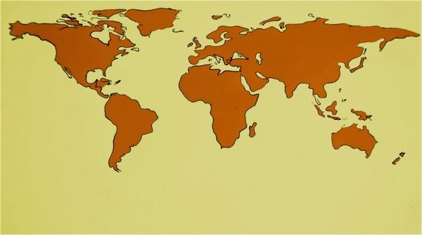
map of the world
map of world
map of the world
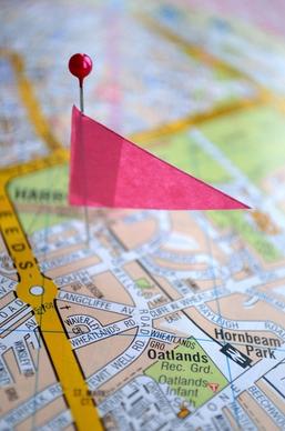
place on the map
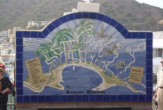
catalinia map
earth nasa map
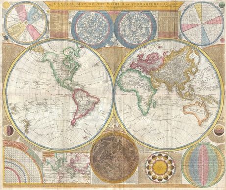
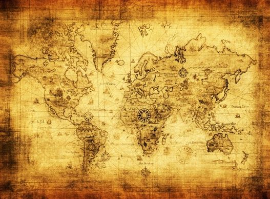
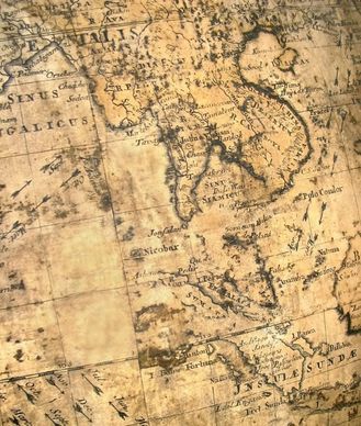
ancient map of highdefinition picture 3
ancient map of highdefinition picture 1
3d blue www and the world map stock photo
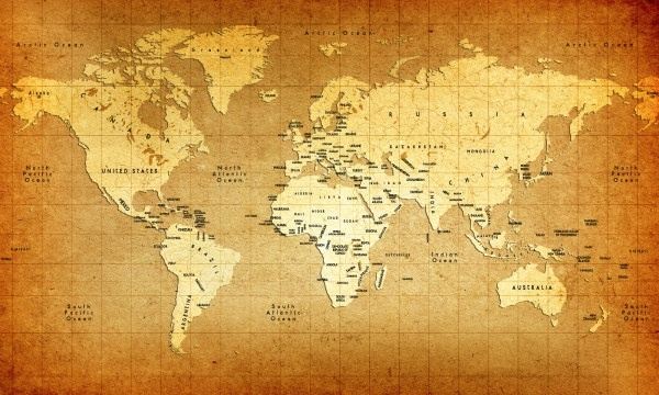
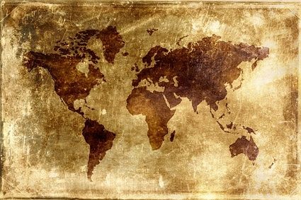
nostalgic world map background picture
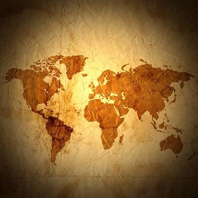
dream world map stock photo
old world map stock photo
3d threedimensional map of the world picture
navigation map and the compass 01 hd figure goods ah
3d orange www and the world map image
4 world map background definition picture
ancient map of highdefinition picture 2
ancient map of highdefinition picture 4
Loading more items please wait...
Loading more items please wait...
Previous
1
2
3
4
Next
Advanced search
Search term:
Search type:
Match any
Match all
Search in:
Vectors
Icons
Photos
Fonts
Website templates
PSD
Licence:
All licence
Allow commercial use
Sort result:
Best match first
Newest first
Much download first
Less download first
Search
Home
Licences
Term
Privacy
About
Contact
Popular tags
aerial view
map
aerial
landscape
satellite image
land
world
continents
satellite photo
nature
urban
sky
background
creative picture
earth
atlas
mountains
europe
view
city
outside
australia
winter
Buy a commercial licence
Buy a cup of coffee for our design team
Get 15% off at Shutterstock! Use code: 15AFD at checkout! (Valid until 1/31/24)
Top
Get 15% off at
! Use code: 15AFD at checkout!